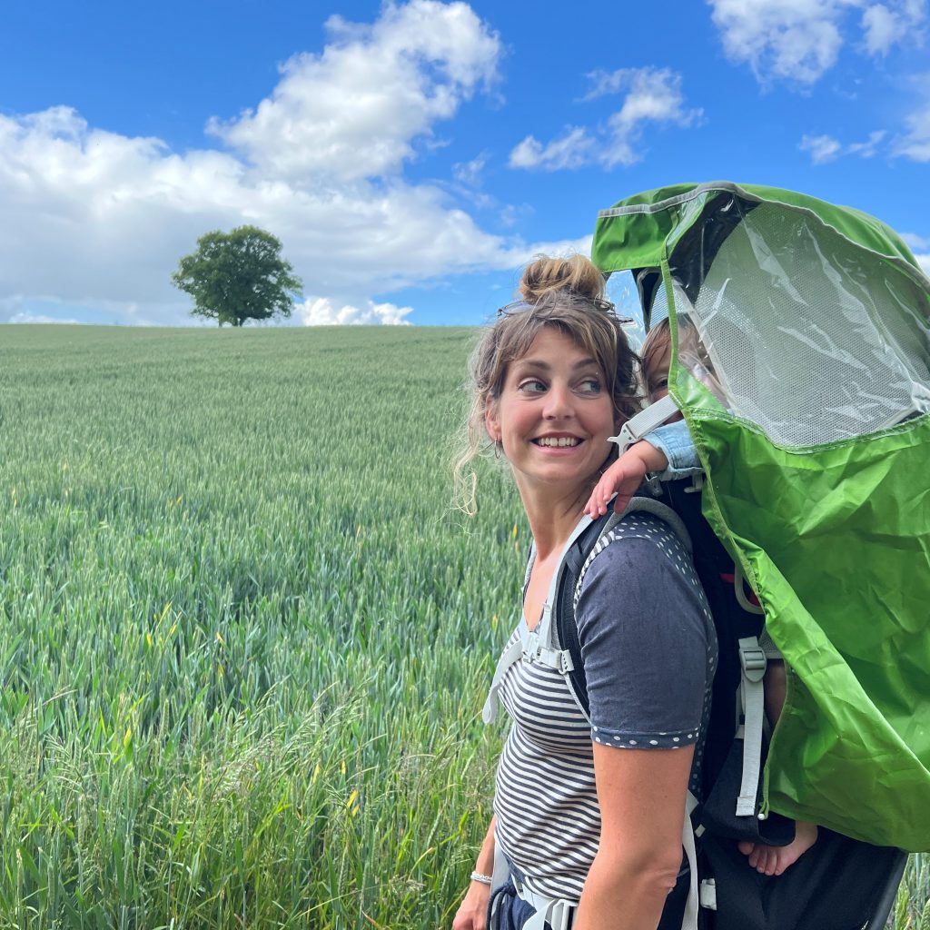
Walking

Malvern has had a long connection with walking for health since the ‘Water Cure’ came to this area.

We have a number of walks to suit all tastes and abilities. Some ideas are listed below.

Download the walking app  for several local walks

For an overview of this National Landscape’s routes, see our Visitor Map and Guide

Malvern has a very popular walking festival and there are walking groups such as the Malvern Hills District Footpath Society and the Malvern Walking Group.

We have a range of walks around this National Landscape that you might like to try, illustrated below. We always welcome feed back on the routes: please contact David Armitage with comments.

For those of you who like to use mobile devices to guide you, we use the Outdooractive App which is free to use. We have many routes on it now and will add more. You can see what we’ve done so far by looking at our Walking Routes page. Please let David know of anything on these routes which troubles you.

British Camp with poplars in the foreground

The Martin Brent Walk (11km / 7 miles) starting at Colwall Station: route and points of interest.

Two Churches and a Vineyard (8.8km / 5.5 miles ) starting at Colwall Church, Colwall Station or Coddington Church: route and points of interest.

Commons, Churches and a Castle (9.2km / 5.6 miles) starting at Swinyard car park: route and points of interest

Science and Trains in Malvern Wells and Great Malvern (12.5km/ 7.7miles) starting at Gt Malvern station: route and points of interest

Hill and Valley (10.5km / 6 miles) starting at Colwall Station: route and points of interest.

Hills and Hops at Mathon (7.8km/4.8 miles or 10.8km/6.7miles starting at Mathon Parish Hall: route and points of interest.

Back to Nature in Malvern Wells (6.5km/4miles) starting at St Wulstan’s Nature Reserve: route and points of interest.

A Walk around Three Counties (11.5km/7.2 miles) starting at Hollybush car park: route and points of interest.

Colwall Orchard Trail: a 5km/3mile trail that explores the heritage of Colwall’s Orchards. The leaflet is available to buy from the Colwall Orchard Group and in local shops, or download on the walks app.

A Guide to the C17 Banks and Ditches on the Malvern Hills: The banks and ditches which mark land sold off by Charles 1st to fund the Civil War are still visible on the hills and this leaflet , or the walk app, takes you on a historical tour of them.

Eastnor and the Malverns: a 8 mile/13 km linear walk, across the hills and using the train to return to the starting point.

Less Able Access: we have a dedicated page to help the less able to enjoy this National Landscape.

Geopark Way

This 109 mile national trail crosses the Malvern Hills National Landscape. The Geopark Way has its own app to guide the traveller. It runs from Bridgnorth to Gloucester along the spine of the hills.

The Wyche Way

This 79 mile walk crosses the Malverns at the Wyche Cutting, and links the Cotswold Way to Offa’s Dyke.

The Herefordshire Trail

A 154 mile circular walk that runs through this National Landscape, north of Ledbury, and, of course goes round the rest of Herefordshire.

The Worcestershire Way.

A 31 mile walk from Bewdley in the north along the spine of the Suckley Hills to Malvern.

The Three Choirs Way

A 100 mile walk between the cathedral towns of Hereford, Worcester and Gloucester, which passes through the Malvern Hills.