Defra has kindly provided a grants programme to the Malvern Hills National Landscape to improve Access for All . Please contact David Armitage if you have ideas for Projects. Projects that have been completed, or are nearing completion are:
Sense Adventures
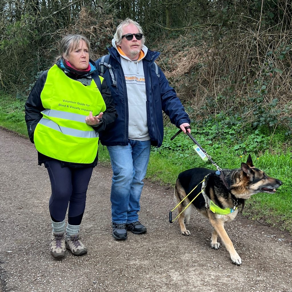
Sense Adventures: provision of clothing to allow the visually impaired to take guided walks around the AONB.
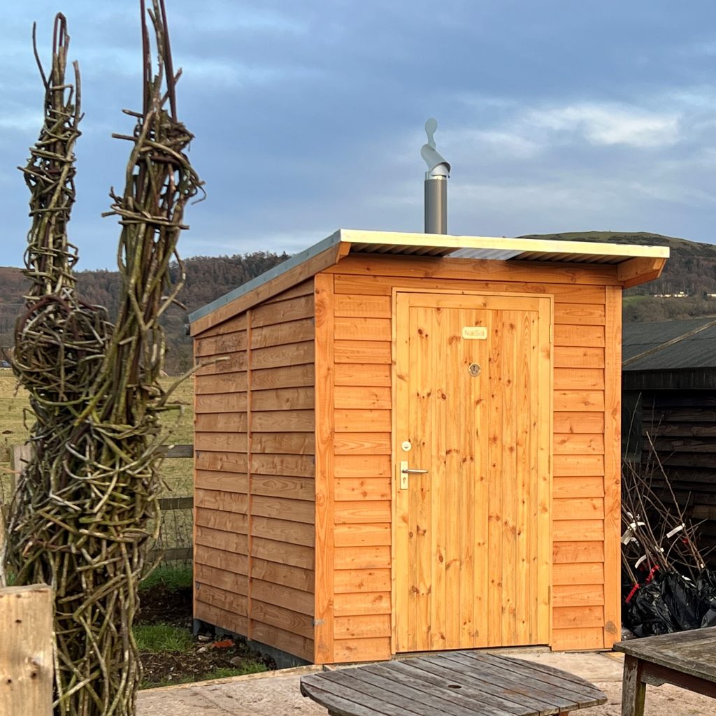
Disabled Access Compost Loo
At Colwall Village Garden: provision of a composting disabled access loo, and large mobility kissing gates.
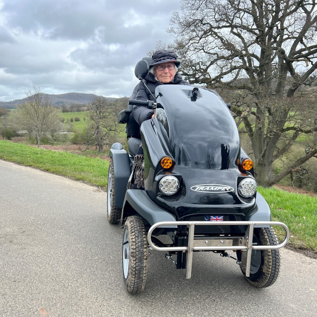
At Eastnor Park: provision of a new Tramper disabled-buggy for tours round the park, large mobility kissing gates and wheelchair friendly picnic tables.
On Malvern Hills Trust land: provision of a variety of gates to allow easy access to newly acquired land.
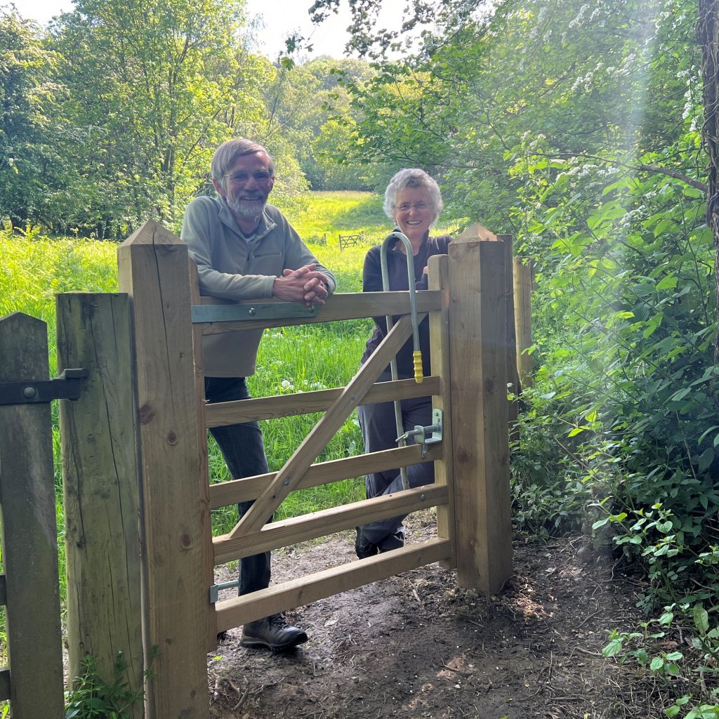
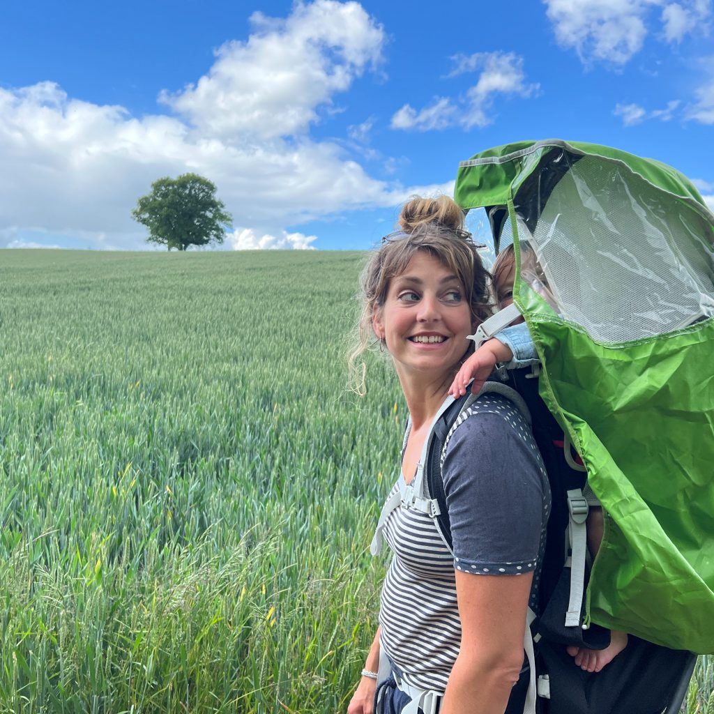
Walking
Malvern has had a long connection with walking for health since the ‘Water Cure’ came to this area.
We have a range of walks around this National Landscape that you might like to try, illustrated below. We always welcome feed back on the routes: please contact David Armitage with comments.
For our outdoor activities, we partner with Outdooractive navigation app – as a visitor to Malvern Hills, you can get 4 weeks free PRO+ subscription on this link.
Other Walks
A Guide to the C17 Banks and Ditches on the Malvern Hills: The banks and ditches which mark land sold off by Charles 1st to fund the Civil War are still visible on the hills and this leaflet , or the walk app, takes you on a historical tour of them.
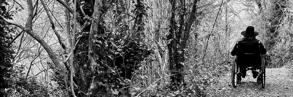
Less Able Access: we have a dedicated page to help the less able to enjoy this National Landscape.
Geopark Way
This 109 mile national trail crosses the Malvern Hills National Landscape. The Geopark Way has its own app to guide the traveller. It runs from Bridgnorth to Gloucester along the spine of the hills.
Visitor Map and Guide
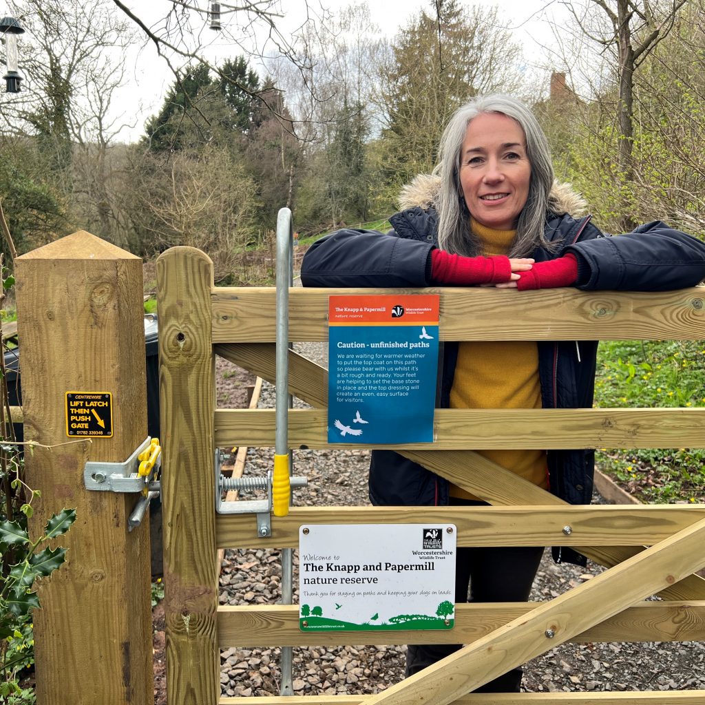
This OS map based guide, has 77 places to visit in the Malvern Hills National Landscape, from pubs and cafes to heritage sites and nature reserves, and is available as a paper map or to download. If you have an attraction in the Malvern Hills National Landscape that you think should be in this guide, please do contact us.
We use cookies on our website to give you the most relevant experience by remembering your preferences and repeat visits. By clicking “Accept All”, you consent to the use of ALL the cookies. However, you may visit "Cookie Settings" to provide a controlled consent.
This website uses cookies to improve your experience while you navigate through the website. Out of these, the cookies that are categorized as necessary are stored on your browser as they are essential for the working of basic functionalities of the website. We also use third-party cookies that help us analyze and understand how you use this website. These cookies will be stored in your browser only with your consent. You also have the option to opt-out of these cookies. But opting out of some of these cookies may affect your browsing experience.
Necessary cookies are absolutely essential for the website to function properly. These cookies ensure basic functionalities and security features of the website, anonymously.
Cookie
Duration
Description
cookielawinfo-checkbox-analytics
11 months
This cookie is set by GDPR Cookie Consent plugin. The cookie is used to store the user consent for the cookies in the category "Analytics".
cookielawinfo-checkbox-functional
11 months
The cookie is set by GDPR cookie consent to record the user consent for the cookies in the category "Functional".
cookielawinfo-checkbox-necessary
11 months
This cookie is set by GDPR Cookie Consent plugin. The cookies is used to store the user consent for the cookies in the category "Necessary".
cookielawinfo-checkbox-others
11 months
This cookie is set by GDPR Cookie Consent plugin. The cookie is used to store the user consent for the cookies in the category "Other.
cookielawinfo-checkbox-performance
11 months
This cookie is set by GDPR Cookie Consent plugin. The cookie is used to store the user consent for the cookies in the category "Performance".
viewed_cookie_policy
11 months
The cookie is set by the GDPR Cookie Consent plugin and is used to store whether or not user has consented to the use of cookies. It does not store any personal data.
Functional cookies help to perform certain functionalities like sharing the content of the website on social media platforms, collect feedbacks, and other third-party features.
Performance cookies are used to understand and analyze the key performance indexes of the website which helps in delivering a better user experience for the visitors.
Analytical cookies are used to understand how visitors interact with the website. These cookies help provide information on metrics the number of visitors, bounce rate, traffic source, etc.
Advertisement cookies are used to provide visitors with relevant ads and marketing campaigns. These cookies track visitors across websites and collect information to provide customized ads.